DREVO roadmap
From watershed
to a system for generations.
Implementation begins not with mass planting, but with diagnosing the movement of water. Each phase produces a verifiable result, data for the next decision and a local team capable of continuing the work.
0–6monthsPhase 00
Five phases
Pilot pathway
Select a phase to see its task, result and transition criterion.
00
Preparation and consortium
Watershed selection, a three-country agreement, baseline data and shared governance rules.
- Key result
- Territory passport and approved pilot framework
- Technologies
- GIS · archival data · initial AeroSense screening
- Transition criterion
- Boundaries, team, indicators and responsibility agreed
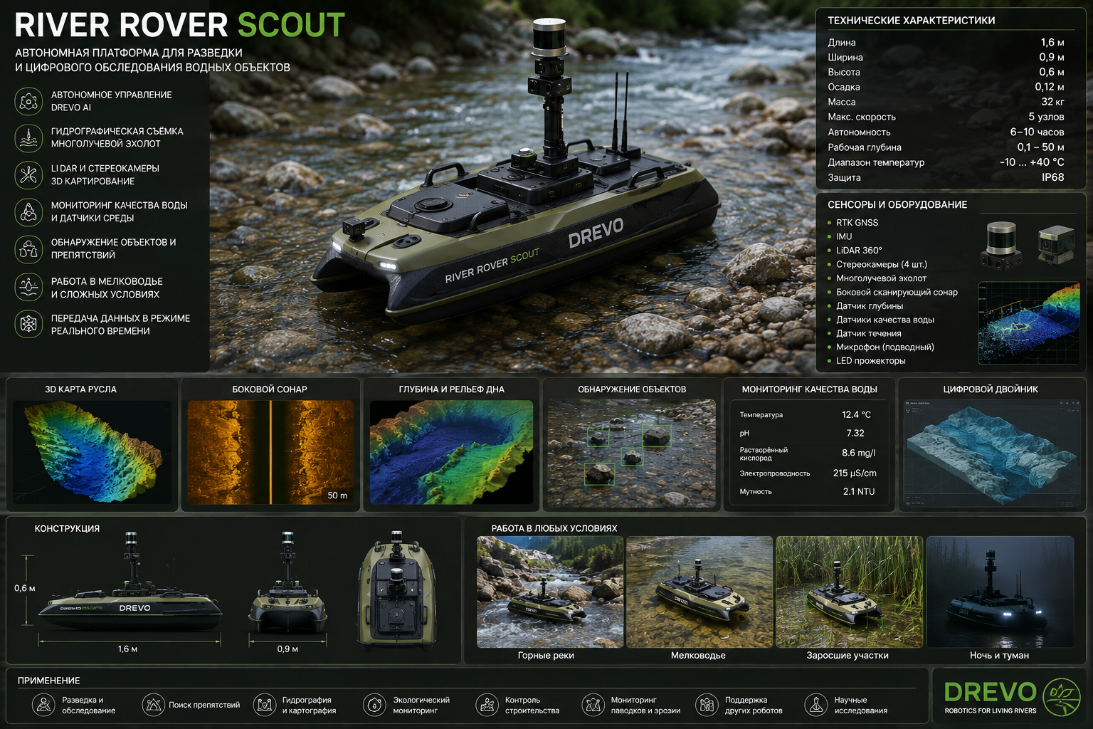
DREVO · 00River Rover Scout
From watershed diagnostics to river restoration, every instrument links to the full article.
Open article →Work packages
Restoration as a system
Open each area to see the sequence of actions.
01Water and terrain+
Runoff mapping → micro-catchments → terraces and berms → springs → floodplains and channels.
Connected to Mountain Sponge →02Soil and vegetation+
Soil diagnostics → pioneer communities → forest corridors → resilient forest garden.
Slope restoration methods →03Technology framework+
AeroSense → sensor network → digital passport → Mountain Digital Twin → DREVO AI.
International system →04People and governance+
Local teams → training → scientific council → open indicators → intergenerational agreement.
Living legacy principles →DREVO · FIELD SYSTEMS
Implementation technologies
From watershed diagnostics to river restoration, every instrument links to the full article.
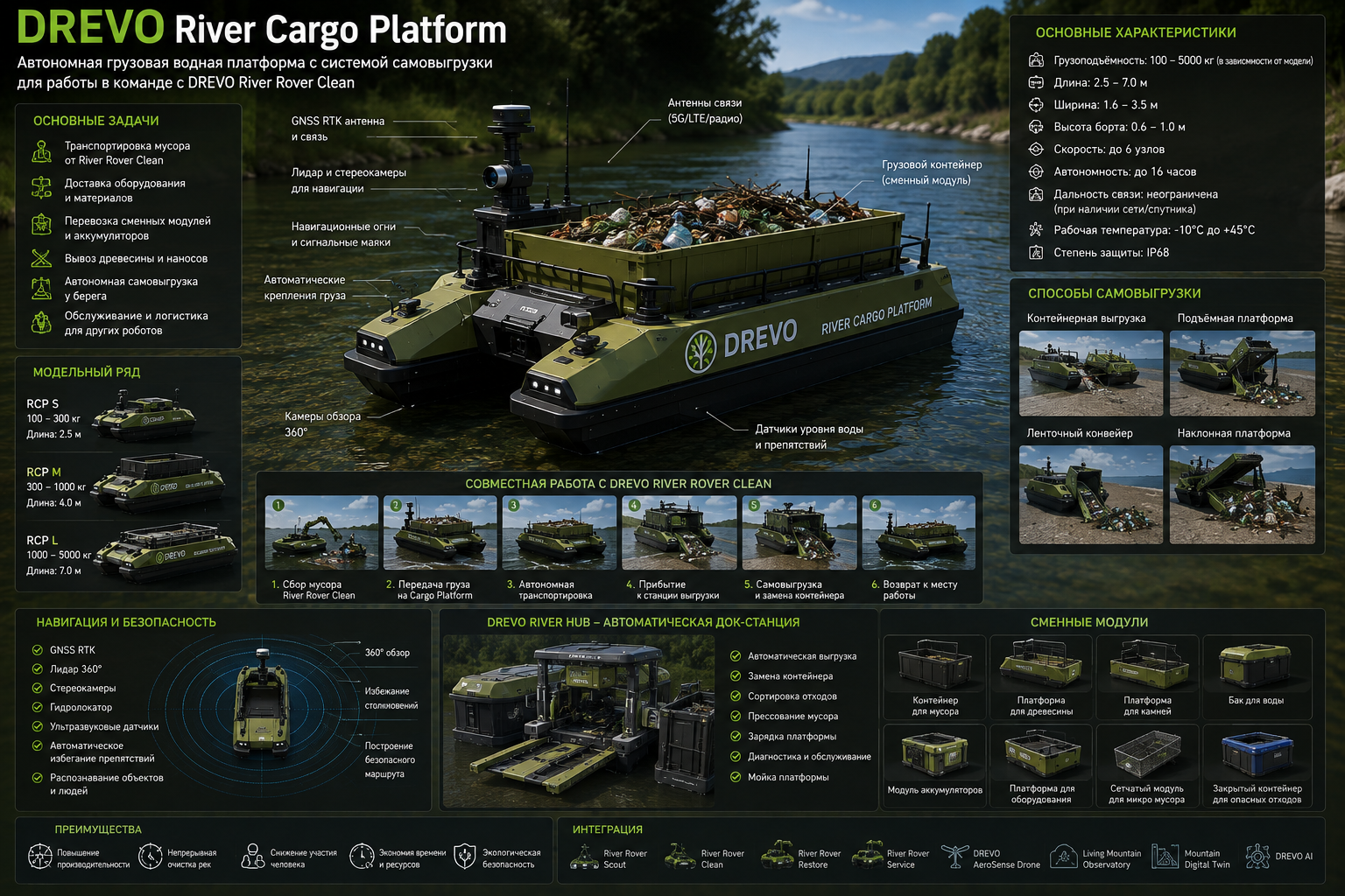
Scenario planner
Set the scale
Estimate teams, monitoring and planting material. Values support early-stage design.
Pilot readiness
Milestones
0%complete
Governance cycle
Data becomes decisions
Drones, sensors, field routes and local knowledge.
Open article →Digital passport and water-flow model.
Open article →Targeted measures in terrain, soil, forest and channels.
Open article →Measurable indicators and an open improvement cycle.
Open article →Related research
From territory to the full article.
Choose a scientific and technical pathway and open the complete material in the current language.
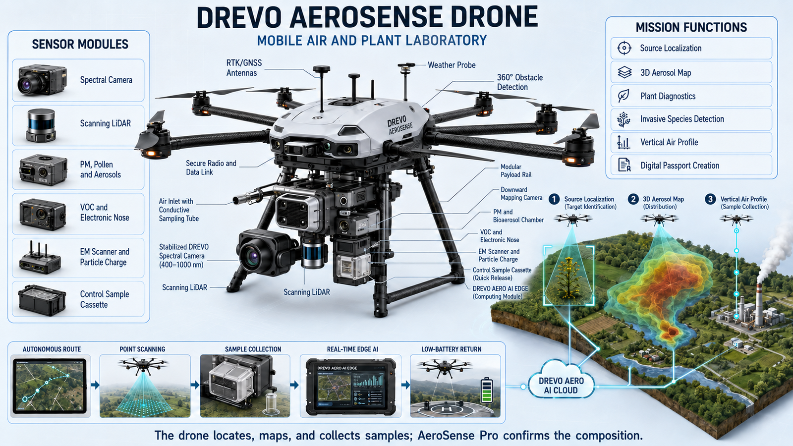
LMO · DREVO
Living Mountain Observatory
Sensors, drones, robotic platforms and AI turn a watershed into an observable living system.
AIRoverAeroSense
Open full material →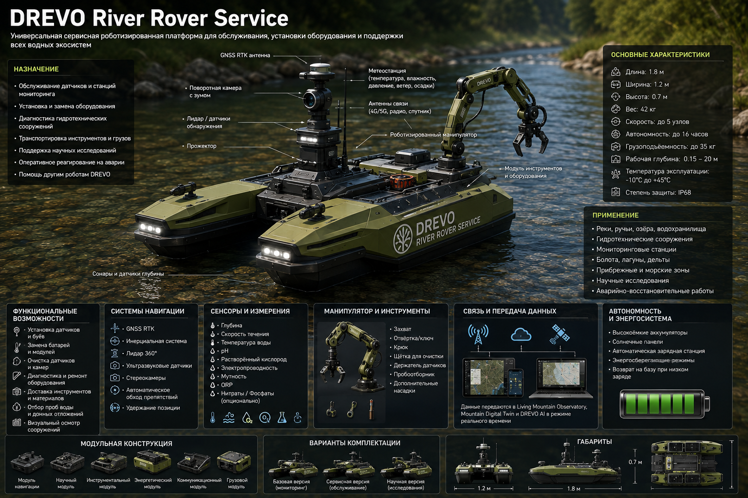
Atlantic × Mediterranean
Atlantic × Mediterranean
One initiative connects mountains, rivers, agriculture, soils and coasts across three countries.
MoroccoSpainPortugal
Open full material →Programme geography