Ocean Zone Map
The working depth of the first coastal strip is considered to be up to 300 meters from the shore. This does not mean uniform planting across the entire area: the territory is divided into zones with different purposes, different water levels, and different planting densities.
Working depth
Up to 300 m from the shore, but not the same everywhere
The initial plan assumes a working depth of up to 300 meters from the ocean. This strip is needed for primary protection, sand stabilization, and the development of soil, a grass layer, and biomass. However, within this strip, everything cannot be planted equally: closer to the ocean, salt and aerosols are stronger, while further away, soil formation, a forage layer, and softer species become possible.
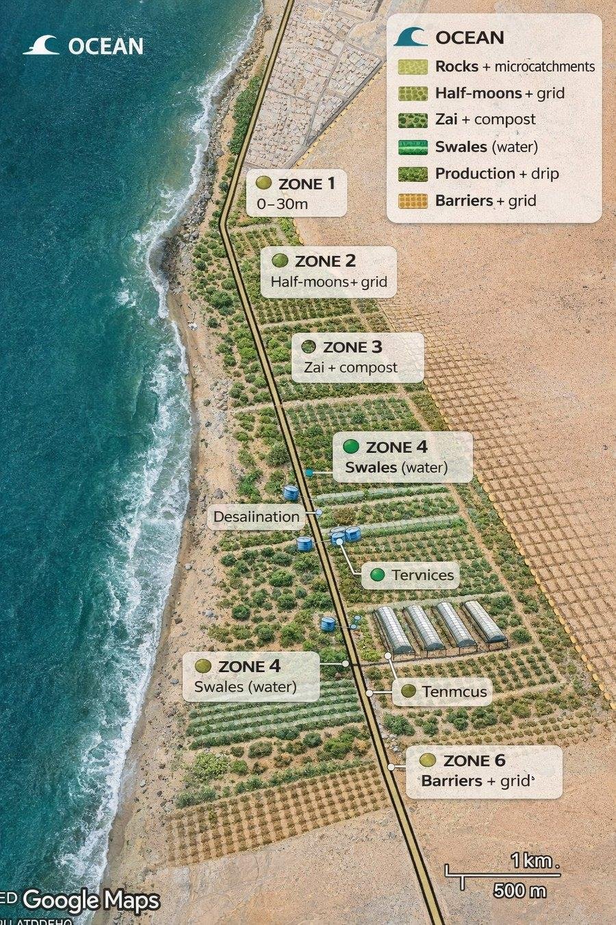
The zones should read as a gradient: oceanic stress gradually gives way to soil and productivity.
Five-zone logic helps to avoid mixing up protective, soil and productive tasks.
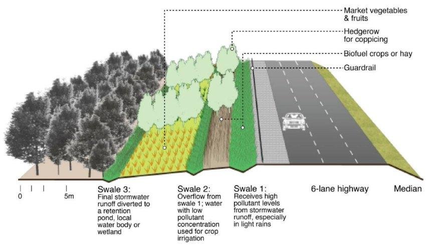
Micro-relief and repeating stripes allow the system to be launched in sections rather than the entire area at once.
Five belts of the first strip
| Zone | Distance from the ocean | The main task |
|---|---|---|
| 1 | 0-30 m | survive salt, spray, and sea spray |
| 2 | 30-80 m | stop the sand and start the living cover |
| 3 | 80-150 m | initiate soil formation |
| 4 | 150-300 m | provide biomass, fodder and soil strengthening |
| 5 | locally in the shade or behind a barrier | Place edible and more tender herbs only in protected areas |
The fifth zone in this scheme is not a continuous strip. It consists of protected areas within the system: shade, barrier, improved soil, and controlled water.
Unified table of herbs by zones
For a start, it's not the most "pretty" species that matter, but rather those that fit their respective zones. The first row should be able to withstand salt, the second should hold sand, the third should create soil, the fourth should provide mass and fodder, and more delicate crops should only be allowed after protection.
| Line | Types | Role in the system |
|---|---|---|
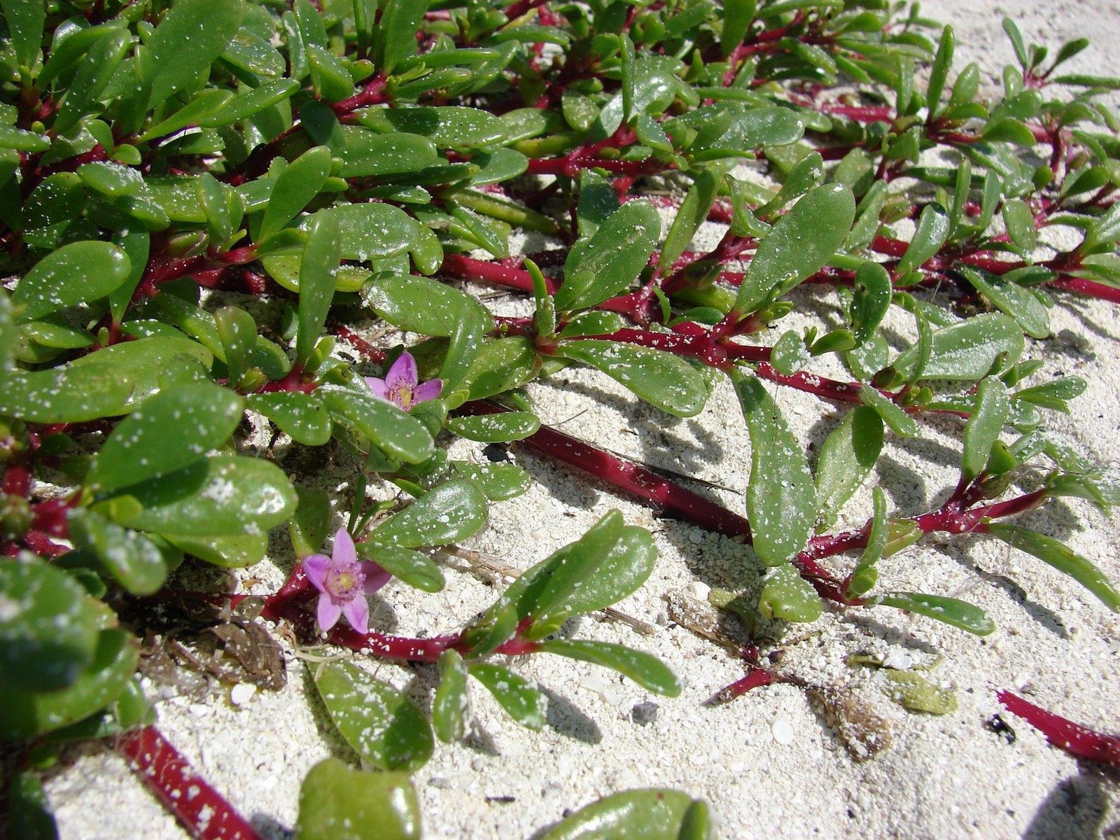
| First line | Sesuvium portulacastrum, Aeluropus littoralis, Paspalum vaginatum, Carpobrotus edulis | salt-resistant coating and ocean protection |
| Second line | Cynodon dactylon, Sporobolus spicatus, Cenchrus ciliaris | sand stabilization and starting grass cover |
| Third line | Panicum turgidum, Lasiurus scindicus, Medicago sativa | transition to soil, forage mass and a more sustainable environment |
| Fourth line | Chrysopogon zizanioides, Sorghum bicolor, Pennisetum glaucum | biomass, feed, root stabilization and surface protection |
Area 3 km and 5 km
If the strip is 300 meters deep, then a 3-kilometer section will cover approximately 90 hectares of total area, and a 5-kilometer section will cover approximately 150 hectares. However, the first phase doesn't require launching everything at once. It's more realistic to include only a portion of the area in zones to check the geometry, water, views, and maintenance.
| Scale | Total area | It's really possible to launch it in the first stage. | Meaning |
|---|---|---|---|
| 3 km | 900,000 m² / 90 hectares | about 225,000 m² / 22.5 hectares | Checking the logic of the 4 main zones |
| 5 km | 1,500,000 m² / 150 ha | about 375,000 m² / 37.5 hectares | an extended pilot with visible infrastructure logic |
Calculation by zones for the first stage
| Zone | Total area of 3 km | Launch at 3 km | Total area of 5 km | 5 km launch |
|---|---|---|---|---|
| 1 | 90,000 m² | 45,000 m² | 150,000 m² | 75,000 m² |
| 2 | 150,000 m² | 60,000 m² | 250,000 m² | 100,000 m² |
| 3 | 210,000 m² | 52,500 m² | 350,000 m² | 87,500 m² |
| 4 | 450,000 m² | 67,500 m² | 750,000 m² | 112,500 m² |
This calculation demonstrates to the investor and the team that the project does not require the simultaneous launch of all 90-150 hectares. The first phase should be manageable.
Logic on water
For 3-5 km, it's impossible to rely on continuous irrigation of the entire area. Water should be distributed along a gradient: closer to the ocean, only the initial launch and survival phase is needed, further away, only the first season's support, and it's wiser to concentrate the main controlled water supply in more protected productive zones.
| Zone 1 almost no watering, only starting support | Zone 2 rare initial watering to establish the cover | Zone 3 first season support and soil control | Zone 4 the main place of controlled irrigation and productive biomass |
|---|
Format for implementation
The most realistic format: a 500-meter pilot with a depth of 150-300 meters, then a 1-kilometer pilot, then scaling up to 3 km, and after testing, to 5 km. This way, the project is presented not as an abstract idea, but as a step-by-step engineering and biological program.
Brief conclusion: for a 3-km strip, a 300-meter-deep strip yields approximately 90 hectares, for a 5-km strip, approximately 150 hectares. However, the first phase should cover approximately 22.5 hectares for a 3-km strip and 37.5 hectares for a 5-km strip.